Live Hurricane Tracker & Tropical Storm Map
Track every named storm in the Atlantic and Gulf with NHC's official cone and track, ensemble spaghetti models, and live Hurricane Hunter recon flights — free, in real time.
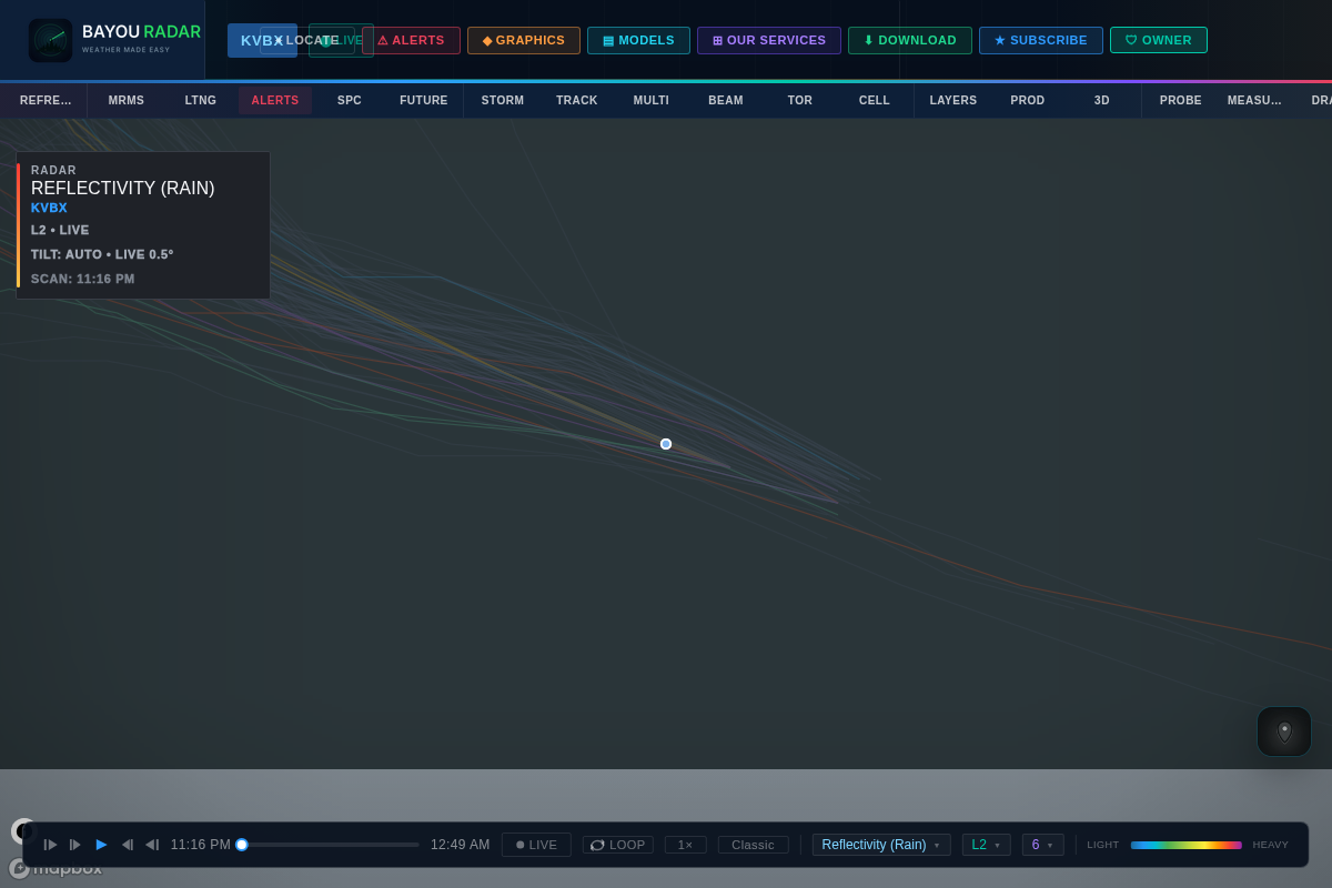
NHC Track & Forecast Cone
NHC Storm Track, Cone & Tropical Outlook
Follow every active tropical system with the National Hurricane Center's official forecast cone and track overlaid directly on live radar. Click any storm for its current classification — Tropical Storm, Hurricane, or Major Hurricane — straight from NHC advisories.
The Tropical Weather Outlook layer adds basin-wide context: NHC's 7-day development potential for the Atlantic and Gulf, so you can see what's brewing before it gets a name.
- NHC forecast cone & track, updated every advisory
- Storm classification (TS / Hurricane / Major Hurricane)
- Tropical Weather Outlook — 7-day development potential
- Atlantic and Gulf basin coverage
Ensemble Guidance
Spaghetti Models — Every Ensemble Track at a Glance
No single model gets a storm's path exactly right. BayouRadar's spaghetti model layer plots the full ensemble of track forecasts together, so you can see the spread and where the models agree — the same guidance meteorologists reference when a storm's future path is still uncertain.
- Full ensemble spaghetti plot layer
- See model spread and agreement at a glance
- Updated as new model runs come in
Recon Aircraft
Hurricane Hunters — Live Recon Aircraft Tracking
Watch NOAA and Air Force Reserve Hurricane Hunter aircraft fly real reconnaissance missions into active storms. Click a plane for its agency, aircraft type, altitude, ground speed, and which storm it's investigating — the same recon flights that feed the data behind official NHC advisories.
- Live Hurricane Hunter aircraft positions
- Agency, aircraft type, altitude & ground speed on click
- Tied to the storm each mission is flying