Live Lightning Strike Map & Thunderstorm Tracker
Every strike, bolt by bolt, from ground-based networks and GOES-19 satellite — plus a density view to track thunderstorms as they build.
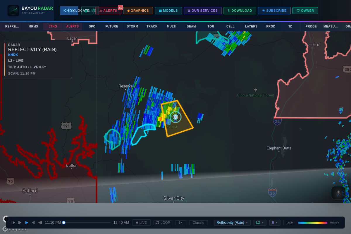
Individual Strikes
Live Lightning Strikes, Bolt by Bolt
See every individual lightning strike as it happens, sourced from Xweather's real-time strike network. Click a strike for its peak current in kiloamps, the exact time it occurred, and its type — cloud-to-ground or in-cloud.
- Individual bolt-level strikes, not just density
- Peak current (kA), timestamp, and strike type on click
- Powered by Xweather's real-time lightning network
Satellite Lightning
GLM Satellite Lightning from GOES-19
BayouRadar also pulls lightning straight from space: the GOES-19 Geostationary Lightning Mapper (GLM) refreshes every minute, giving you a satellite-based view of lightning activity across the entire domain — useful even where ground-based detection is sparse.
- GOES-19 GLM lightning, refreshed every 1 minute
- Full-domain coverage from space
- Complements ground-based strike data
Density View
Lightning Strike Density & Thunderstorm Tracking
Zoom out for the bigger picture with a nowCOAST-sourced lightning density layer — a heatmap of recent strike activity that makes it easy to spot where thunderstorm activity is intensifying across a region.
- Lightning strike density heatmap (nowCOAST)
- Spot intensifying thunderstorm activity at a glance
- Works alongside live radar and storm cell tracking