Live GOES-19 Weather Satellite Imagery & Tracking
GeoColor, Clean IR, water vapor, and specialty RGB products straight from GOES-19 — plus live satellite and ISS tracking on the same map.
Full-Disk Imagery
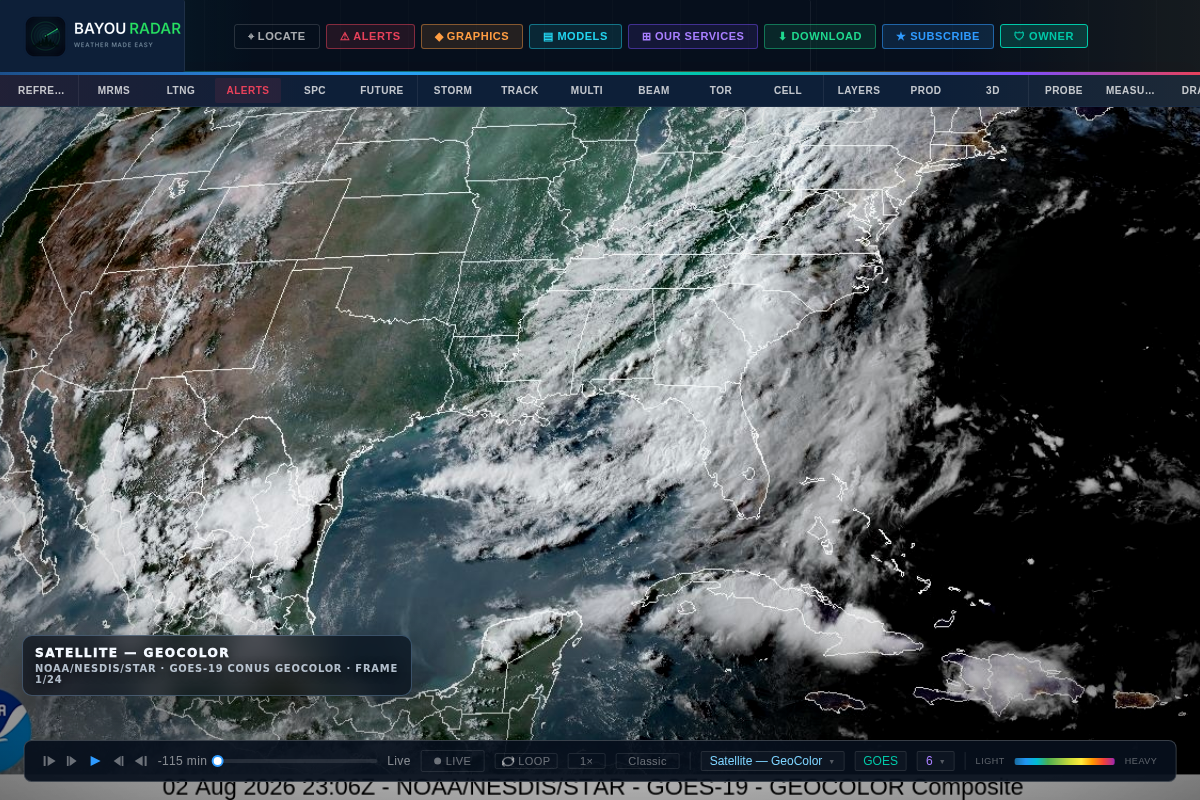
GeoColor, Clean IR & Specialty RGB Products
See the atmosphere from space with GOES-19: GeoColor true-color imagery, Band 13 Clean Infrared (5-min refresh), a 1-minute mesoscale IR sector, and specialty Fire Temperature and Dust RGB composites for spotting wildfire heat signatures and blowing dust.
- GeoColor true-color imagery
- Band 13 Clean IR, 5-min refresh — plus a 1-min mesoscale sector
- Fire Temperature RGB and Dust RGB composites
Water Vapor & Motion
Water Vapor & Derived Motion Winds
Track moisture aloft with GOES-19 water vapor imagery, and see derived motion winds calculated straight from satellite cloud and vapor tracking — a view of upper-level flow you won't get from radar alone.
- GOES-19 water vapor imagery
- Derived Motion Winds, refreshed every 5 minutes
- Upper-level flow context beyond radar
Live Tracking
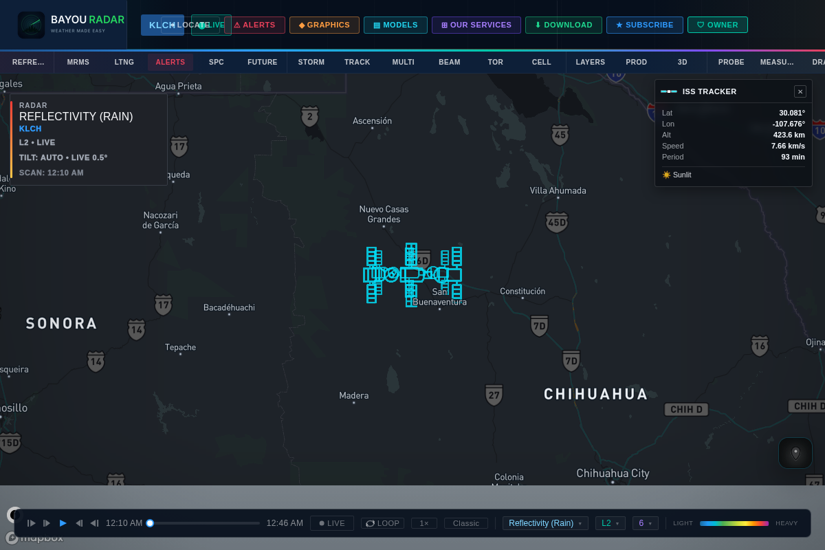
Satellite & ISS Tracking
BayouRadar tracks 74 satellites live with 60-second updates, plus a dedicated ISS Tracker with real orbital pass predictions — so you can see the International Space Station's current position and know exactly when it'll pass overhead.
- 74 satellites tracked live, 60-second updates
- Dedicated ISS Tracker with real pass predictions
- Runs on the same map as radar and satellite imagery